ANNAPURNA CIRCUIT, NEPAL
Annapurna Conservation Area
The Annapurna Circuit is less a trek than a slow circling of a mountain world, a patient turning through valleys, forests, and high passes until you find yourself somewhere thinner, quieter, and a long way from where you began.
To start the trek, we flew from Kathmandu to Pokhara. There we stocked up on supplies, enjoyed one last night in a comfortable hostel bed, then set off the next day, catching a bus to the trailhead of the Annapurna Circuit.
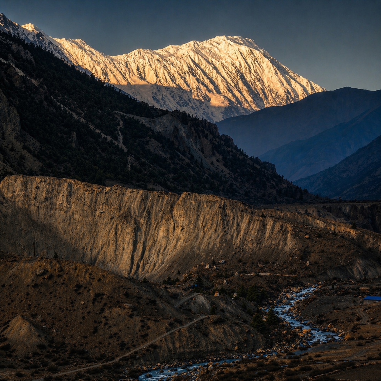
Ngawal, 3680m (12,073 ft)
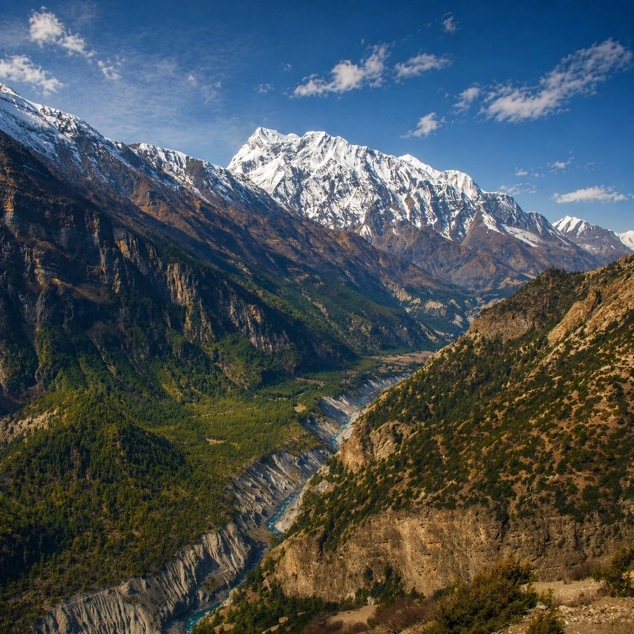
You start low, in warmth and green abundance, where rice terraces hold the hills in careful lines and rivers run loud and full. It feels improbable, at first, that this same path will lead you into snow and silence.
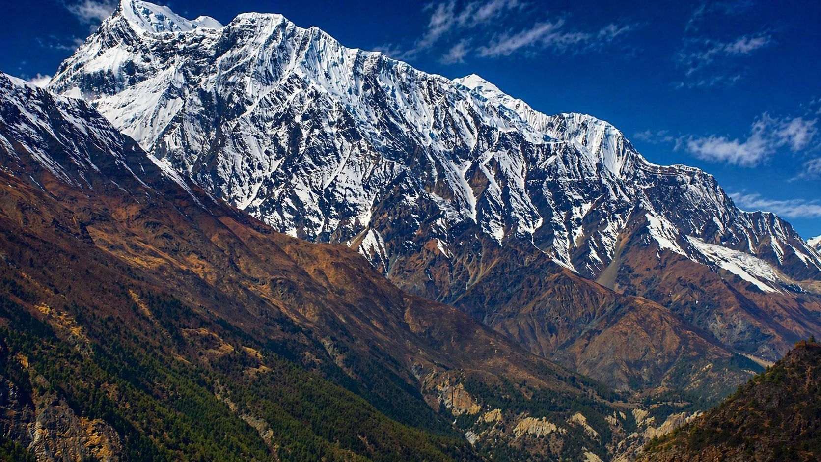
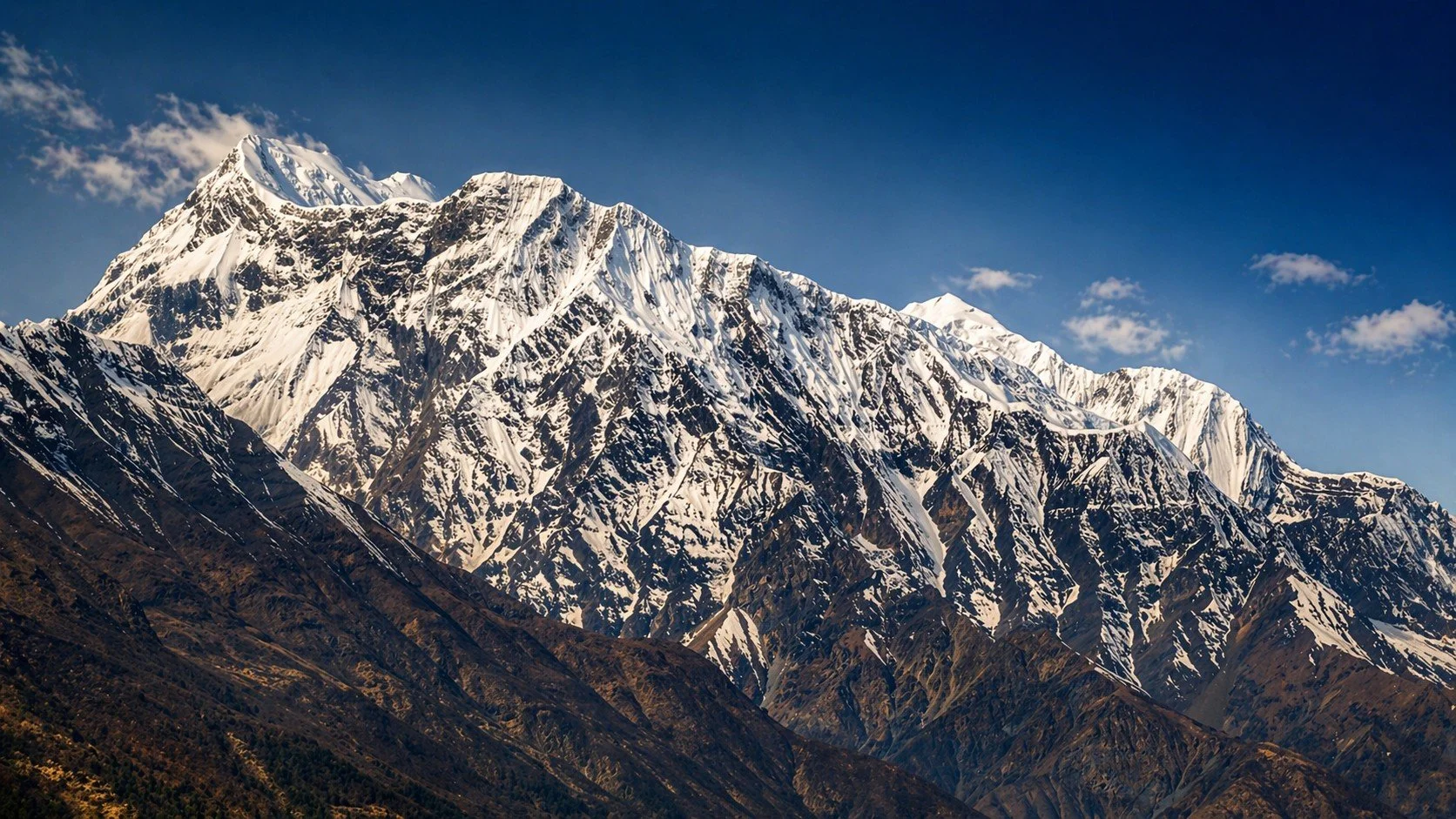
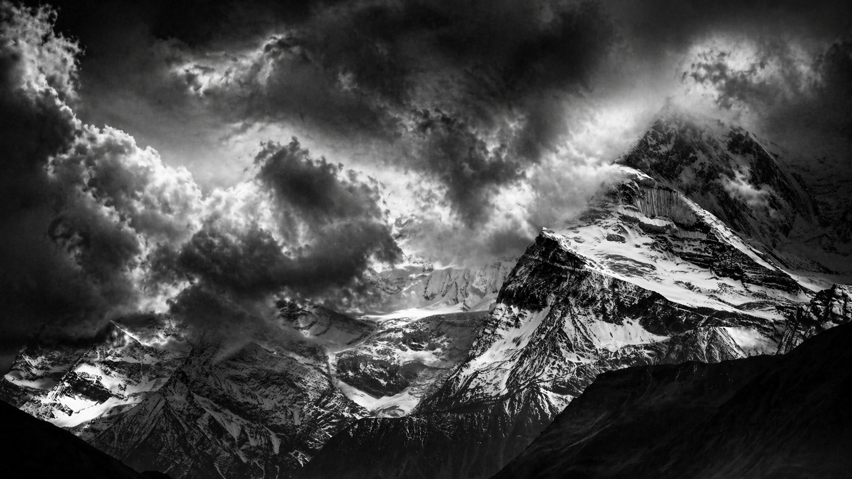
Annapurna III, 7555m (24,787 ft)
The Annapurna Circuit climbs to 5,416 metres, a tough and often punishing ascent. The air thins with every step, and carrying your own pack, as we did, makes the challenge even sharper (many trekkers rely on porters).
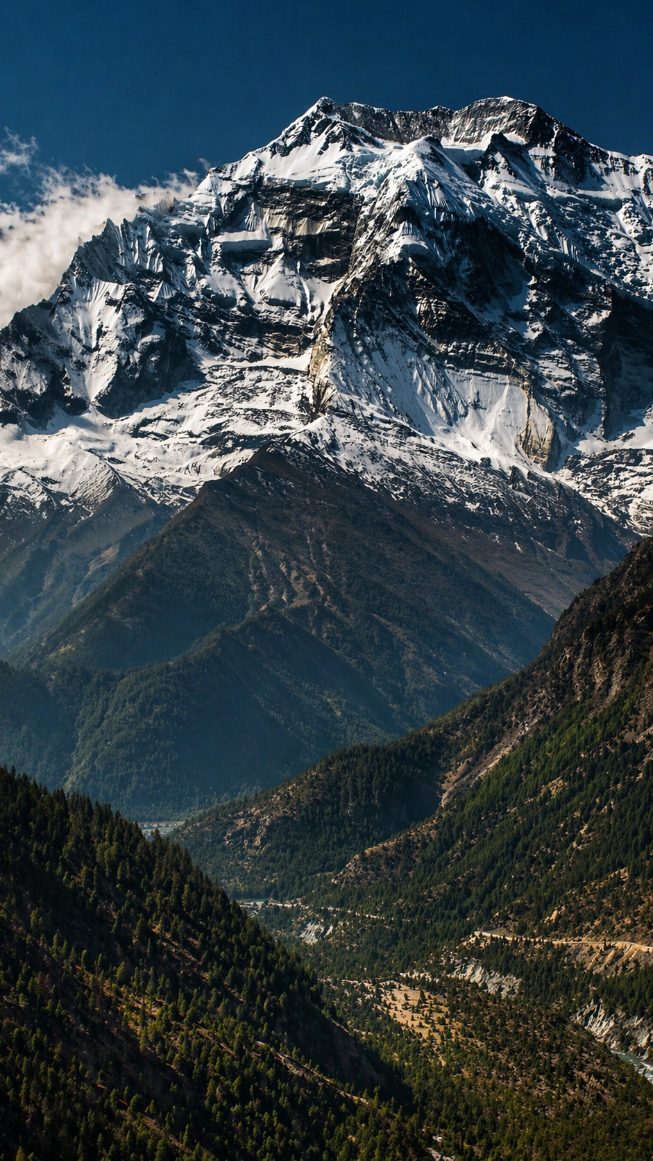
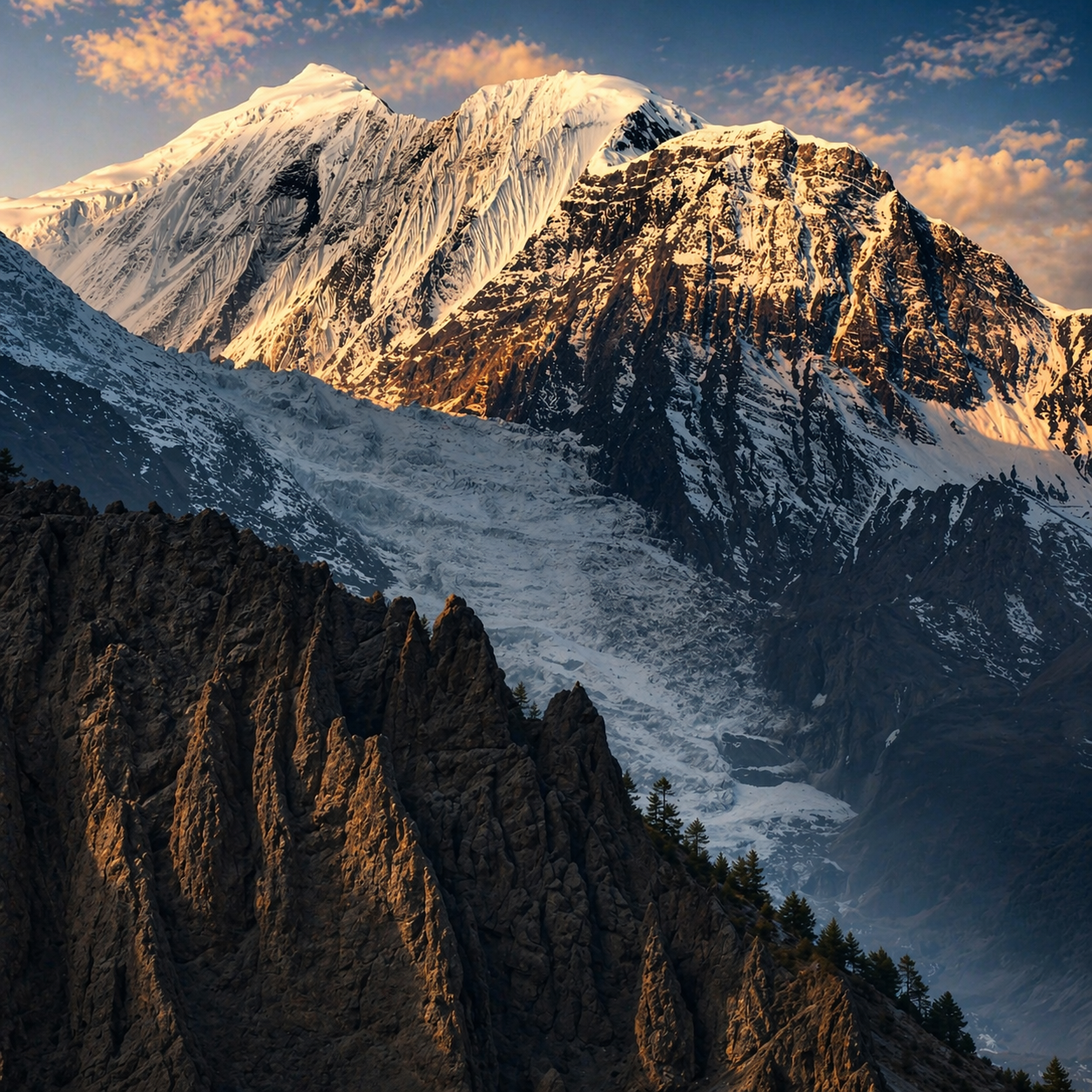
Gangapurna, 7455m (24,460 ft).
Porters pass you on the trail with a steady, unshowy strength, carrying loads that seem to defy reason. It’s a humbling sight, repeated so often it settles somewhere deeper than admiration.
Some trekkers arrive looking less prepared, struggling under their own weight while porters carry suitcases still tagged from long-haul flights, Frankfurt or beyond. The contrast is hard to ignore.
Every so often, a sign asks, “Have you paid for your porter’s insurance?” It stays with you, a stark reminder that if a porter is injured here without insurance, medical evacuation is simply not an option.
Annapurna III, 7555m (24,787 ft).
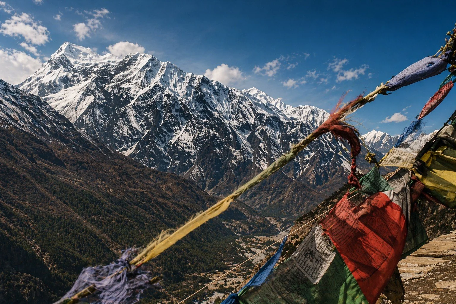
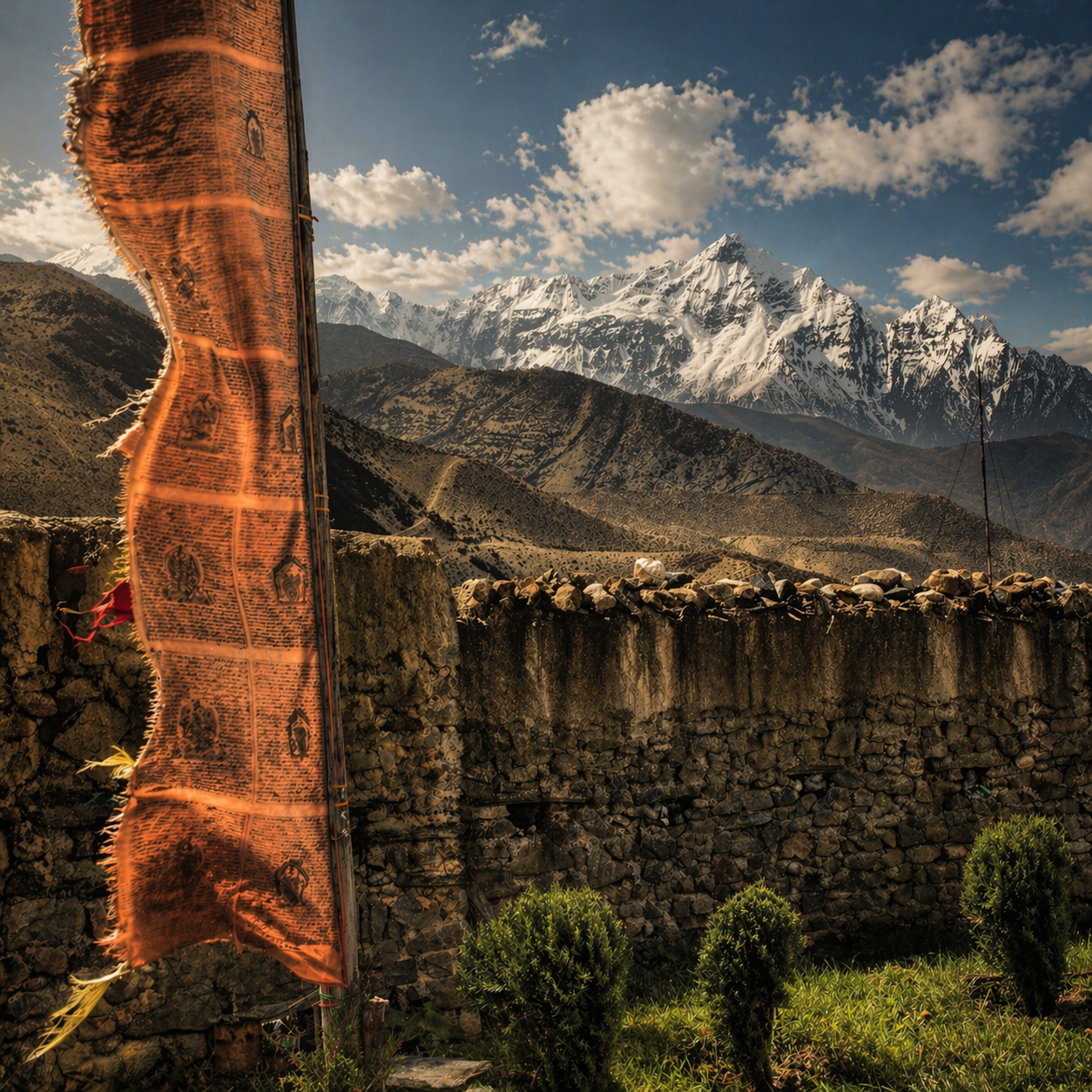
Suspension bridges carry you across rushing rivers, their cables trembling underfoot, prayer flags flickering at either end as if marking each crossing as a small act of faith.
Ngawal, 3680m (12,073 ft)
The trail winds on, sometimes gentle, often not, stretching across days that begin to blur into one another. Distance here is not measured in miles, but in effort, altitude, cups of tea, de-hydrated ready meals and chocolate.
Gangapurna, 7455m (24,460 ft).
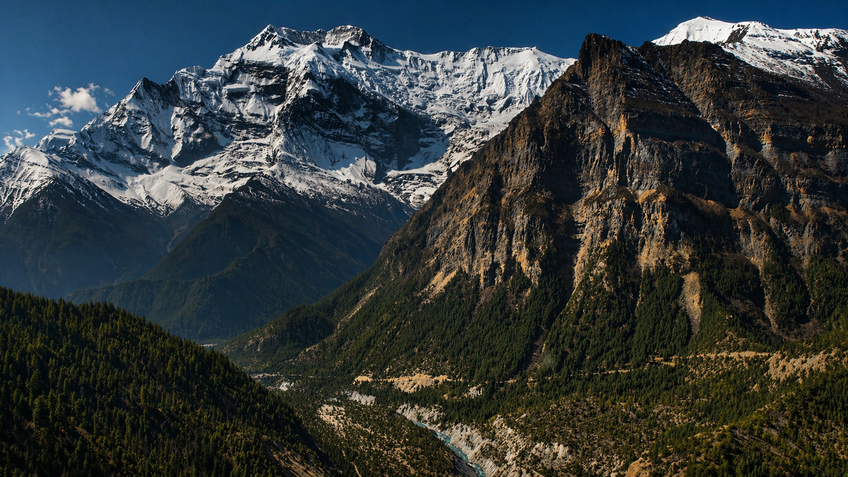
As you climb, the landscape begins to open and empty. Trees fall away, the air sharpens, and the mountains stop being a backdrop and start to feel like the main presence.
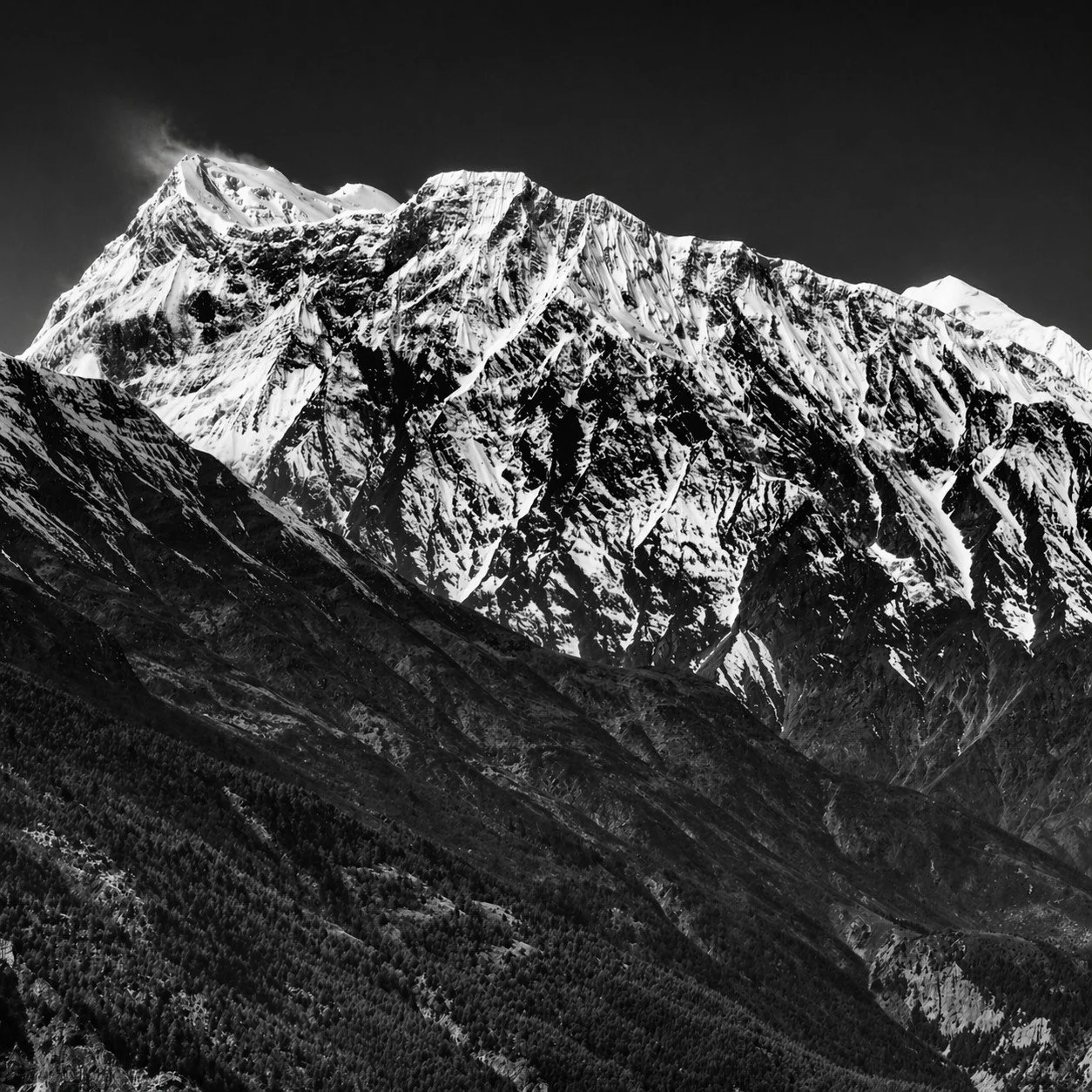
Annapurna III, 7555m (24,787 ft)
I’ve done long-distance walks in China, Indonesia, India, Pakistan, US, Australia, New Zealand, and Mongolia. I’m not sure “enjoyed” is the right word. They can be punishing. But up here in the mountains, alone with your thoughts, the world somehow feels both bigger and smaller at the same time.
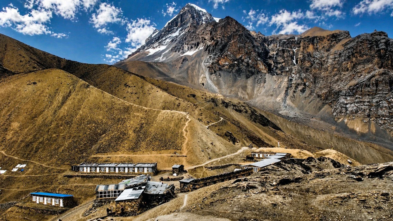
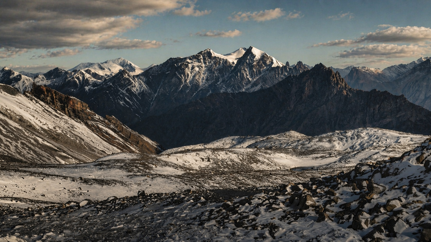
Manang, 3540m (11,614 ft)
By Manang, the altitude makes itself known. Movements slow, conversations shorten, and even simple things take on a quiet weight.
Manang, 3540m (11,614 ft)
The mountains can be a great place to get some much-needed perspective. The world can feel hectic and pretty messed up at times, but up here, it all quiets down just enough to see things more clearly. You realise how little you actually need, how much of life is noise, and how easy it is to confuse urgency with importance.
Manang, 3540m (11,614 ft)
Maybe that’s the point of walking like this. Not to conquer distance, but to strip things back until what matters is simple again: keep moving, breathe, pay attention.
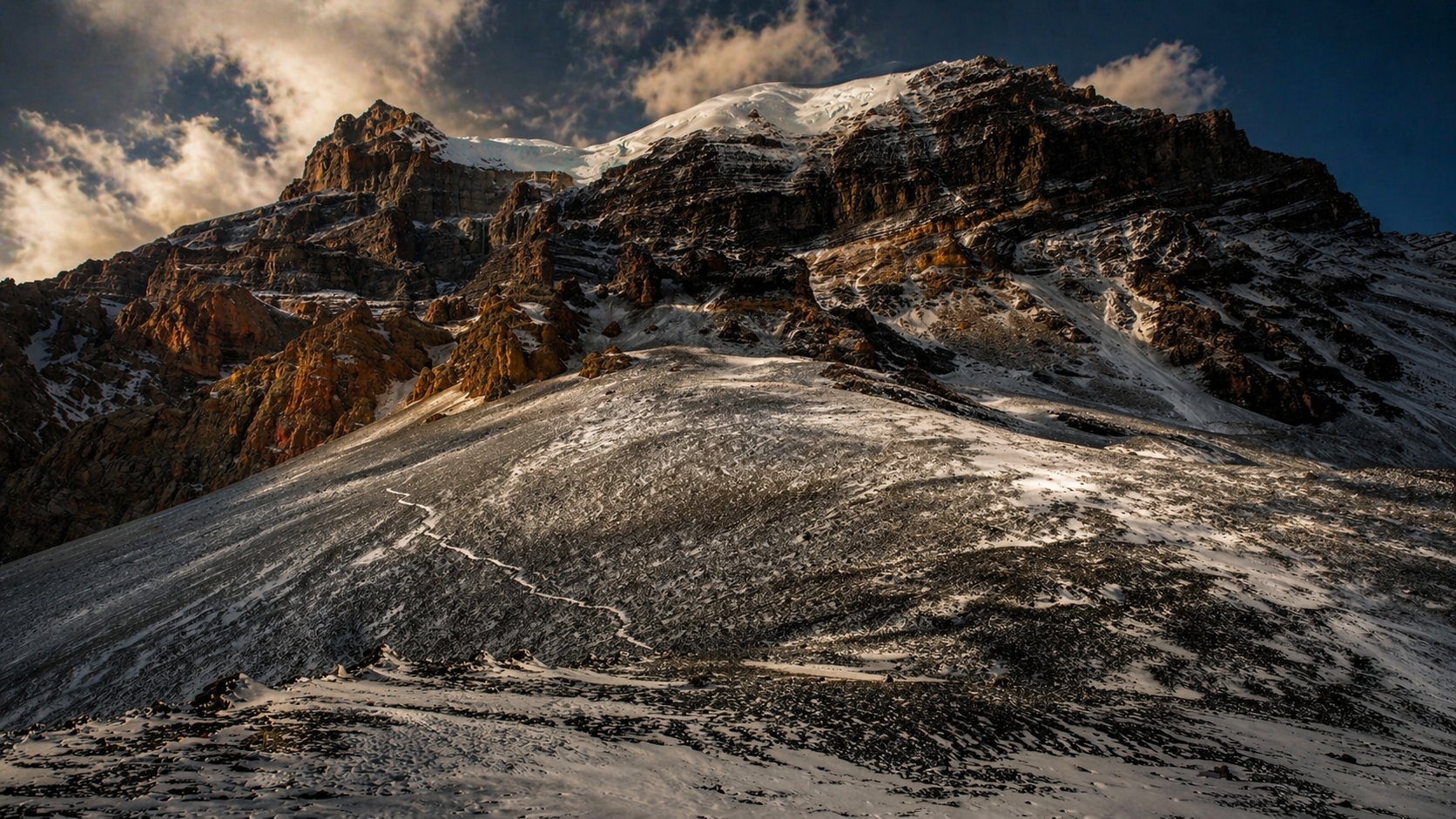
High Camp, 4850m (15,912 ft)
The approach to the high pass is deliberate. There is no rushing here, only a steady negotiation with altitude, weather, and the quiet limits of the body.
High Camp, 4850m (15,912 ft)
There is less oxygen here, though you notice it not in a single moment, but in the gradual way your body begins to argue with you over every step.
For a moderately fit person, it’s a serious test. While you can’t reach it from the trail, the highest peak visible along the route is Manaslu at 8,156 metres.
Thorung La Pass, 5416m (17,769 ft)
Before reaching the high point of the Thorung La, you set off long before sunrise. It’s bitterly cold, sleeping in every layer with gloves and hat still on.
Legs heavy and energy low, maybe running short on chocolate, you grab a quick cup of tea, shoulder your pack, and step into the darkness, stars blazing overhead and a head torch lighting the narrow path ahead.
Thorung La Pass, 5416m (17,769 ft)
A crossing as much mental as physical, where each step feels considered and the horizon seems to sit just out of reach.
Thorung La Pass, 5416m (17,769 ft)
And then, on the far side, the land changes again. The air dries, the colours fade to dust and stone, and you realise the circuit is not one place at all, but many, stitched together by effort, time, and a certain stubbornness.
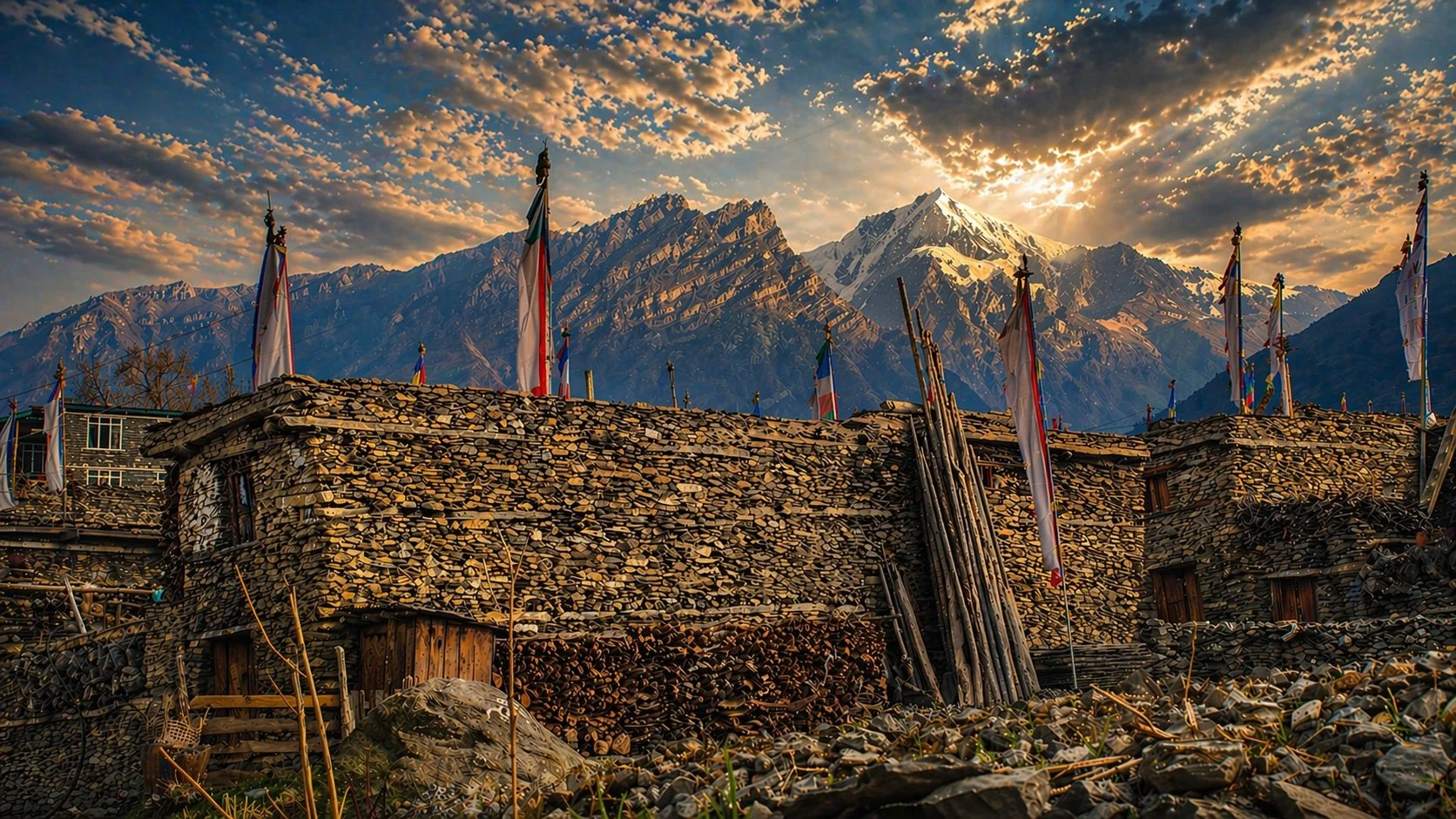
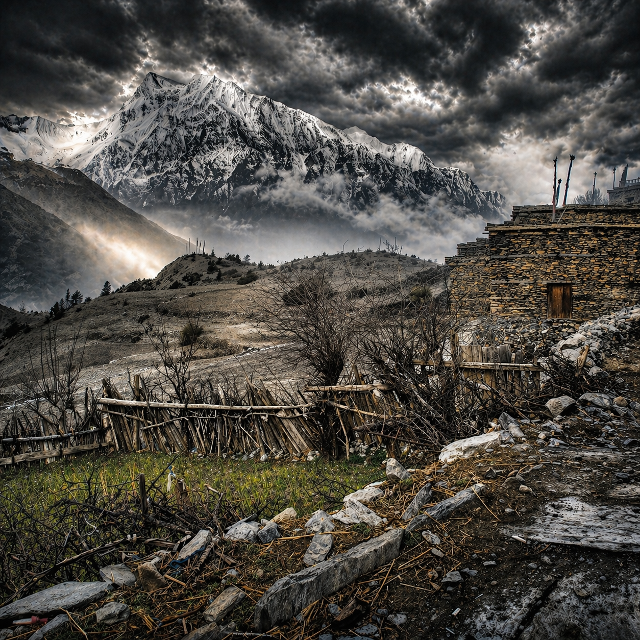
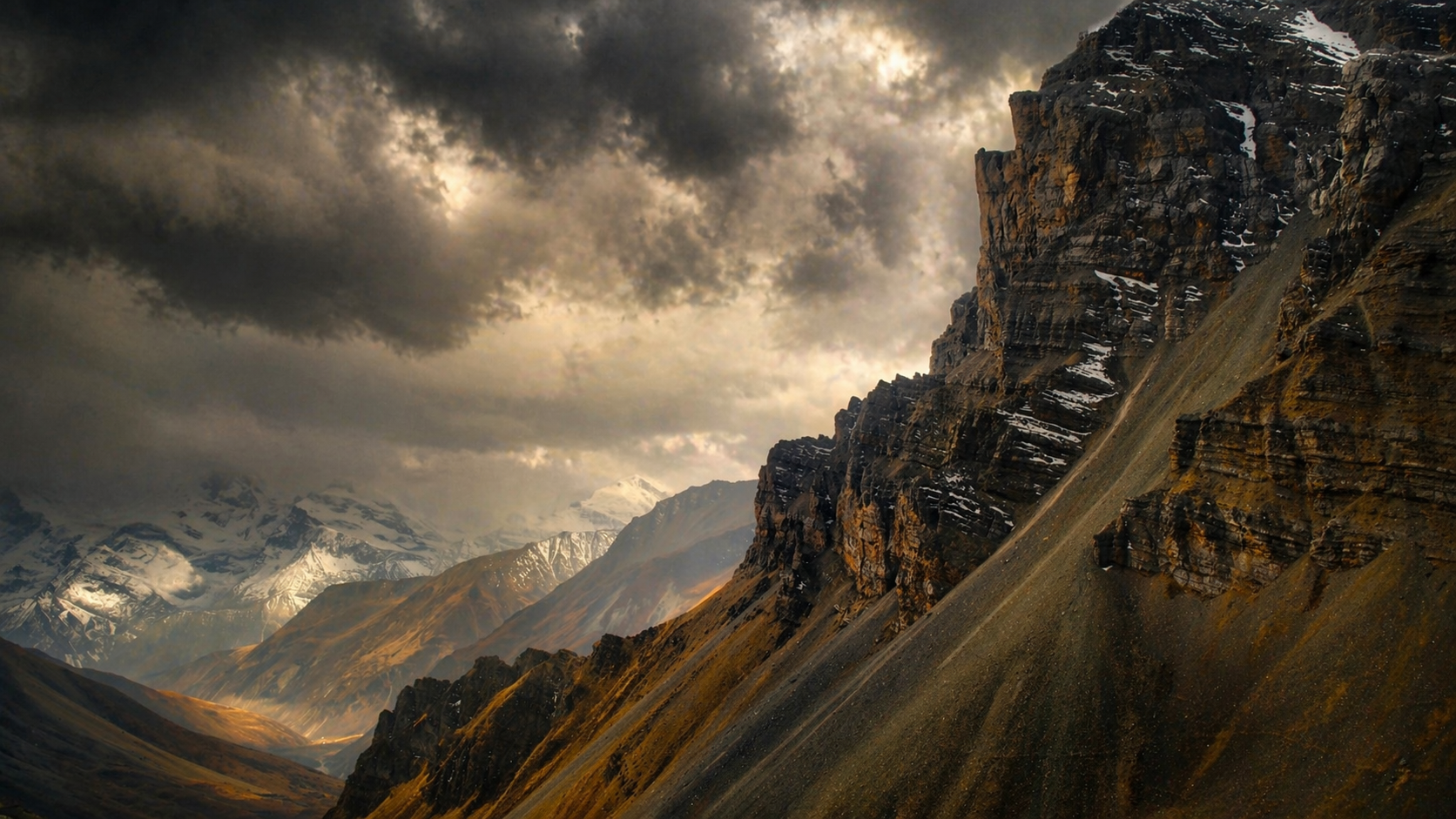
Kagbeni, 2800m (9,186 ft)
By the end, your pack is lighter and you’ve shed a few pounds. The journey covers roughly 160–230 km, depending on your starting point, and typically takes about 11 days from start to finish.